|

|

|

|

|

|

|

|

|

Objectives
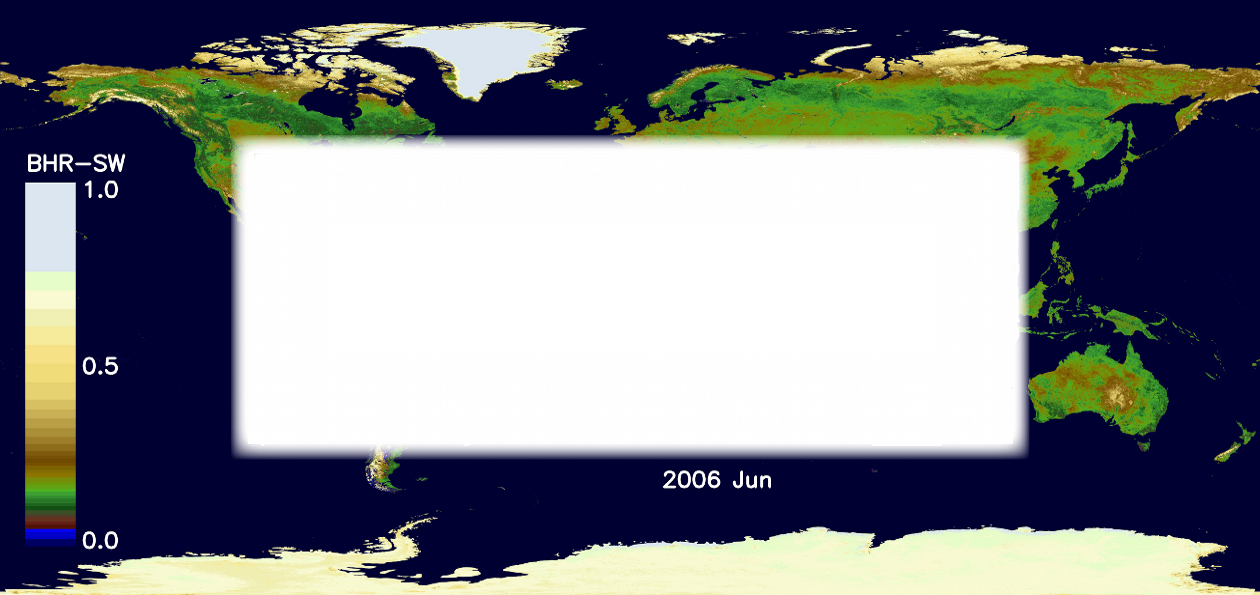
Global Albedo data of the land surface are being produced from data from 1998 - 2011 from European satellites with estimated uncertainties for each and every 1 km or 0.05° or 0.5° pixels. These products could be sustained into the future from European operational satellites such as the GMES Sentinels.

|

|

|

|

|

|
| Home | Site Map | Disclaimer | Accessibility | Privacy | Advanced Search | Copyright | Contact Us |

|
©UCL 2012-2020 |


