The following steps were taken to produce the final albedo products:
1. Satellite Top-of-Atmosphere 1km reflectances, corrected for Sun-Earth distance and using the same solar irradiance model are used as input from the ESA MERIS and SPOT-VEGETATION instruments
2. Every input Pixel is identified as land, water, cloud, snow with a given probability
3. Spectral Directional Reflectance, SDR (sometimes known as Top-of-Canopy reflectances or Bidirectional Reflectance Factors, BRFs) are retrieved correcting for the effects of the atmosphere using aerosol optical depth estimates produced from the same input data
4. SDRs are integrated into Broad Band Directional Reflectances (BBDRs) using radiative transfer models
5. Every orbit is binned into the MODIS SIN 10° x 10° tiles
6. The BBDRs in MODIS SIN tiles are then transferred to UCL-MSSL
7. Bi-directional Reflectance Distribution Functions (BRDFs) in netCDF are derived from the BBDRs using an optimal estimation model and gaps are filled in (due to persistent cloud cover or low solar elevations) from a 10 year climatology derived from an every 8 days MODIS BRDF time series
8. Bi-Hemispherical Reflectances (BHR, sometimes known as "white-sky" albedo) and Direct Hemispherical Reflectances (DHR, sometimes known as "black-sky" albedo) are then integrated from the BRDF for a particular solar angle range every 8 days in netCDF
9. 1km MODIS SIN tiles are then upscaled, mosaiced and projected into 0.05° and 0.5° and into monthly time-steps in netCDF
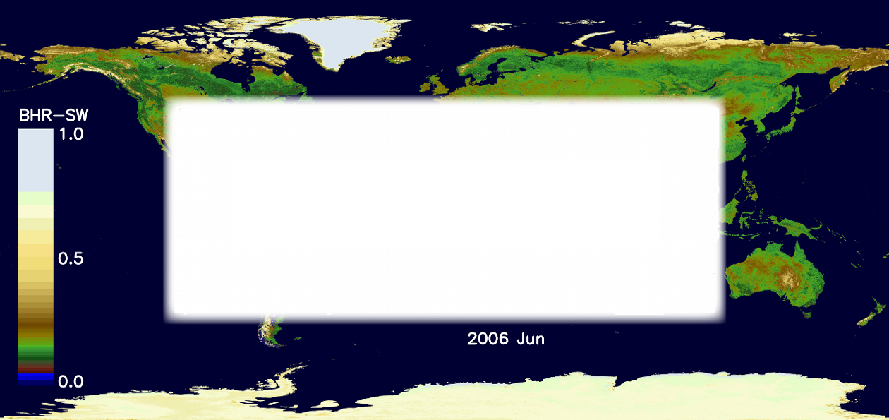
10. Browse products are generated from each albedo product at 1km, 0.05° and 0.5° mosaics in PNG and animations with annotations created in GIF or MPEG2 and placed on the right area of the website
A schematic is shown of the product processing taken from the ATBD is shown below:


